Exploring Telluride's Scenic Drives & Road Trips: Byways, Passes & Valleys
Telluride anchors over 300 miles of alpine road trip routes across the San Juan Mountains, including paved scenic loops and high-altitude 4x4 passes. Ranging from 8,750 feet in Telluride Valley to 13,114 feet at Imogene Pass summit, drivers encounter fall aspen stands, historic mining ghost towns, and unobstructed views of Mount Sneffels.
Exploring Telluride Mountain Living & Real Estate
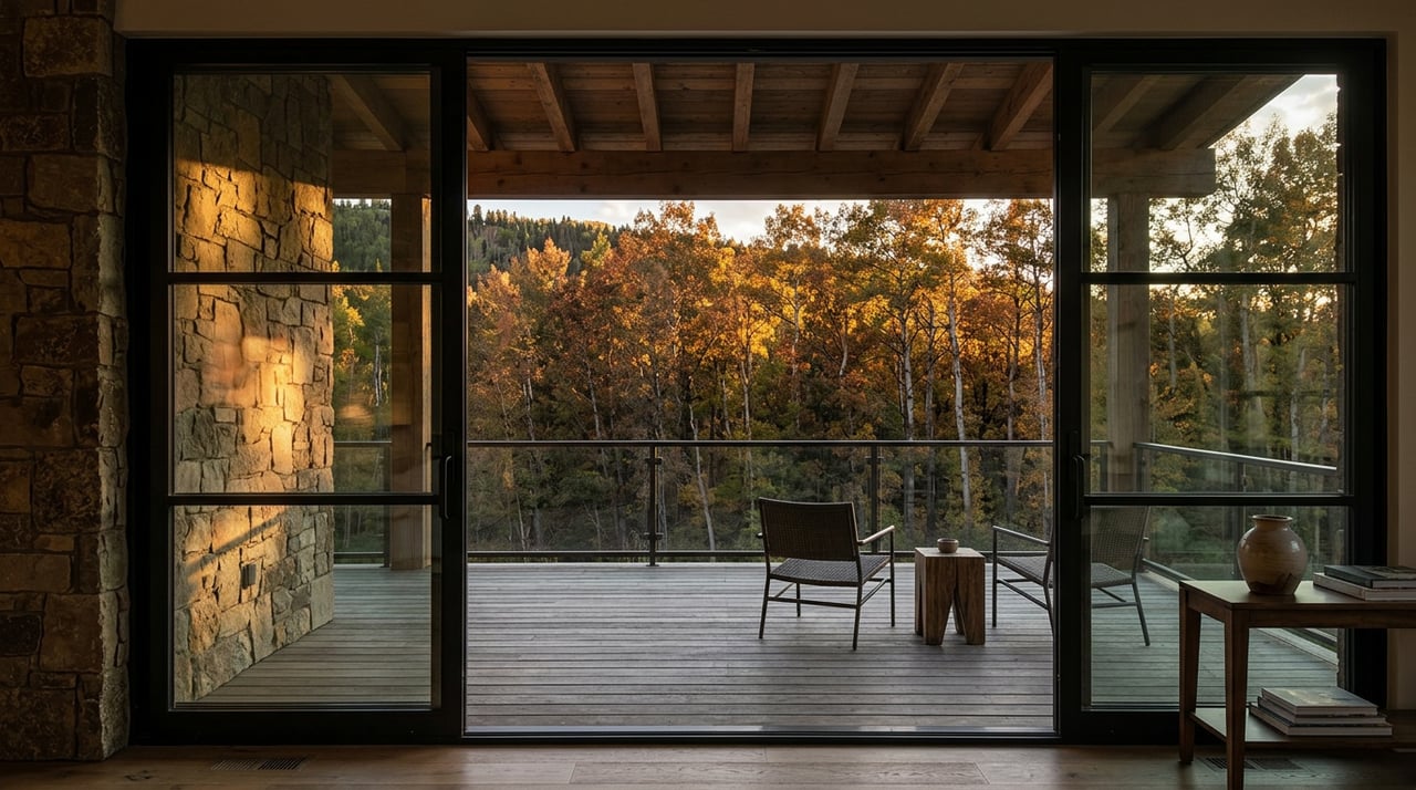
Are you seeking a mountain home with panoramic views along the Dallas Divide or slope-side luxury in Mountain Village?
Scenic Drive / Pass | Road Surface | Required Vehicle | Peak Elevation & Key Highlight |
|---|
San Juan Skyway / Highway 145 | Paved Highway | Standard 2WD Passenger Car | 10,222 ft at Lizard Head Pass | 236-mile All-American Road loop |
Dallas Divide (Highway 62) | Paved Highway | Standard 2WD Passenger Car | 8,970 ft | Iconic Mount Sneffels autumn aspen vantage point |
Last Dollar Road | Unpaved Dirt / Gravel | High-Clearance AWD / 4WD | 10,600 ft | Backcountry ranches, aspen forests, and Sneffels views |
Imogene Pass | Rough Off-Road Trail | High-Clearance 4x4 Only | 13,114 ft | Historic Tomboy Mine ghost town site connecting to Ouray |
Telluride is a destination where the journey is just as captivating as the destination itself. For those who love hitting the open road, the region offers some of the most picturesque drives in the country. From winding mountain passes to serene valley roads, exploring the scenic drives in Telluride is a perfect way to discover the area’s natural beauty and rich history.
The San Juan Skyway & Million Dollar Highway
The San Juan Skyway is a 236-mile loop that takes drivers through some of Colorado’s most stunning landscapes, including Telluride, Ouray, Silverton, and Durango. This All-American Road is famed for its sweeping mountain vistas, alpine meadows, and historic mining towns.
A highlight of this route is the Million Dollar Highway (U.S. Route 550), a breathtaking stretch between Ouray and Silverton featuring dramatic cliffs and awe-inspiring views. The entire loop can be completed in 6 to 7 hours of driving, but many opt to stop along the way to explore its charming historic downtowns and mining landmarks.
- Distance: 236-mile full loop starting via Highway 145 from Telluride
- Road Conditions: Fully paved 2-lane highway | Open year-round (weather permitting)
- Key Stops: Telluride Historic Core, Ridgeway State Park, Ouray Hot Springs, Silverton Historic District
Last Dollar Road & Sneffels Range Overlooks
For a less-traveled and truly picturesque experience, Last Dollar Road is a must-see route. Connecting Telluride to Ridgway, this scenic unpaved route meanders through open alpine meadows, dense aspen forests, and rustic cattle ranchlands, offering panoramic views of the jagged Sneffels Range.
While this road is accessible during summer and early fall with a high-clearance SUV or crossover, it is best avoided during rainstorms or snow, as red clay mud becomes extremely slick. However, for those who tackle it during dry conditions, the photography opportunities are exceptional.
- Distance: 21 miles between Telluride Regional Airport and Highway 62
- Road Conditions: Unpaved gravel and clay dirt | High-clearance AWD/4WD recommended
- Season: Open June through October | Unmaintained in winter
High-Altitude 4x4 Mountain Passes (Imogene, Ophir & Black Bear)
Telluride serves as the gateway to legendary high-altitude off-road passes cut through the San Juan Mountains during the 1880s mining era. These routes demand proper off-road vehicles and careful driving.
Ophir Pass: Connecting Telluride to Silverton via the historic mining town of Ophir, this 11,789-foot pass features views of the Lizard Head Wilderness and striking red rock scree fields. It is one of the more accessible 4x4 roads in San Miguel County during dry summer conditions.
- Elevation: 11,789 feet summit
- Vehicle Requirement: High-clearance AWD or 4x4 | Open July through October
Imogene Pass: Rising to 13,114 feet above sea level, Imogene Pass is the second-highest vehicular pass in Colorado, connecting Telluride directly to Ouray. Along the ascent, drivers pass the historic Tomboy Mine ghost town at 11,500 feet, where thousands of miners once lived.
- Elevation: 13,114 feet summit
- Vehicle Requirement: True 4x4 with low range and high clearance | Experienced drivers only
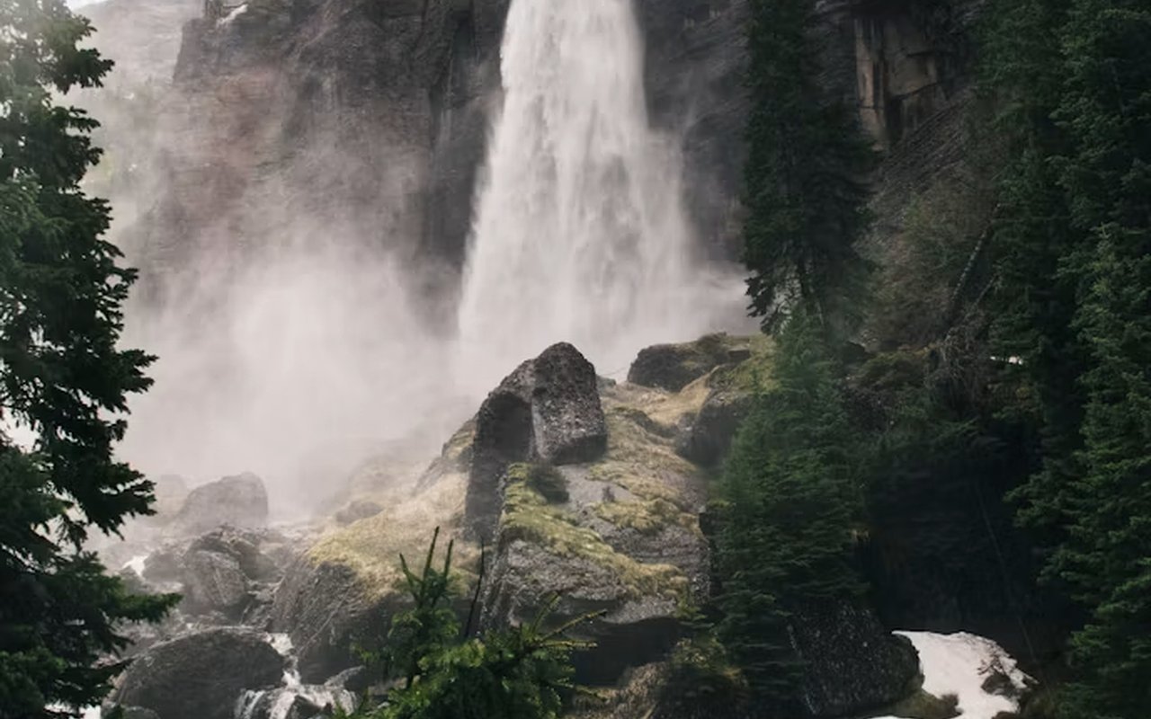
Black Bear Pass: Black Bear Pass is legendary among off-road drivers. Descending into Telluride's box canyon, the one-way shelf road features narrow switchbacks directly overlooking 365-foot Bridal Veil Falls and Ingram Falls.
- Elevation: 12,840 feet summit | One-way traffic down into Telluride
- Vehicle Requirement: Short-wheelbase 4x4 required | Open late July through September
Dallas Divide & Highway 62 Scenic Autumn Route
For those who prefer a smooth, paved highway drive, State Highway 62 leading over the Dallas Divide is a world-class choice. Rising from Ridgway toward Placerville, this highway offers sweeping, unobstructed vistas of 14,158-foot Mount Sneffels and the surrounding San Juan Range.
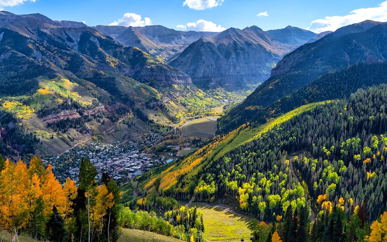
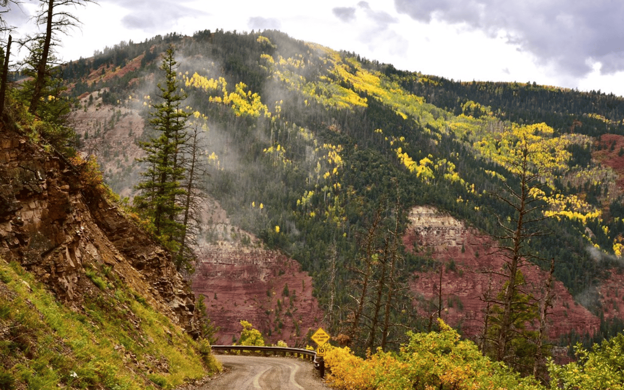
It is an easy 30-minute drive from downtown Telluride and a global favorite for landscape photographers, particularly during late September when golden aspen groves cover the valley floor below Mount Sneffels.
- Location: Highway 62 between Ridgway and Placerville Junction
- Elevation: 8,970 feet at Dallas Divide summit
- Facilities: Paved roadside pullouts and designated photography overlook bays
Lizard Head Pass & San Miguel River Corridor
Lizard Head Pass, located along State Highway 145 just south of Telluride, is another paved and accessible route. Sitting at 10,222 feet in elevation, this pass offers views of the spire-shaped Lizard Head Peak (13,123 feet) and Wilson Peak (14,017 feet).
In summer, the pass features vibrant wildflower meadows and access to the Galloping Goose Trail system. Winter transforms Lizard Head Pass into a snowy alpine landscape with groomed cross-country ski trails and snowshoe tracks.
- Location: Highway 145, 15 miles south of Telluride
- Elevation: 10,222 feet
- Facilities: Restroom facility, paved parking area, trailhead access
Unaweep-Tabeguache Byway & Red Rock Canyons
Stretching 133 miles from Placerville near Telluride to Whitewater near Grand Junction, the Unaweep-Tabeguache Scenic Byway (Highways 145 and 90) is a dramatic canyon drive. Following the San Miguel and Dolores Rivers, the byway transitions from high alpine forests to sheer red sandstone canyons.
History enthusiasts will appreciate historic engineering structures like the Hanging Flume perched on the canyon walls near Naturita, built during the 1890s gold rush.
- Distance: 133 miles total route length
- Road Conditions: Paved 2-lane highway | Year-round driving access
- Key Sights: Hanging Flume overlook, Dolores River Canyon, Unaweep Canyon wall
Road conditions, pass opening dates, and vehicular clearance guidelines verified via Colorado Department of Transportation (COTRIP), San Miguel County Road & Bridge Department, and US Forest Service Grand Mesa, Uncompahgre and Gunnison (GMUG) National Forests regulations. Photographic imagery archives referenced via Flickr creative commons directory.
Authored by JW Group
Luxury Real Estate Advisors | Luxury Presence Brokerage Partner | Telluride, CO
The JW Group provides luxury real estate advisement across downtown Telluride, Mountain Village, and surrounding San Miguel County mesas. Living and driving the San Juan Mountain routes year-round, our advisors guide buyers seeking scenic view corridors, acreage along Last Dollar Road, and ranches near the Dallas Divide. In 2023–2025, homes offering unobstructed views of Mount Sneffels commanded premium valuation across regional mountain markets.
Frequently Asked Questions
What is the most famous scenic drive near Telluride?
The San Juan Skyway is the most famous scenic drive near Telluride. Spanning 236 miles in a loop through Telluride, Ouray, Silverton, and Durango, this All-American Road includes the famous Million Dollar Highway section along U.S. Route 550.
Do I need a 4x4 vehicle to drive Last Dollar Road?
In dry summer conditions, a high-clearance AWD crossover or SUV can navigate Last Dollar Road. However, 4WD capability is strongly recommended because sudden rainstorms can transform the red clay soil into extremely muddy, unpassable terrain.
When are high mountain passes like Imogene and Black Bear open?
High mountain passes around Telluride typically open in early to mid-July after snow clearing by San Miguel and Ouray County road crews. They remain open through late September or early October until the first heavy autumn snowfall shuts down high-altitude routes.
Where is the best spot to see fall foliage near Telluride?
The Dallas Divide along Highway 62 and Last Dollar Road offer the premier fall foliage viewpoints in Colorado. Mid-to-late September brings peak golden color as vast aspen groves turn bright yellow below the peaks of Mount Sneffels and Wilson Mesa.
How long does it take to drive the San Juan Skyway loop?
Driving the full 236-mile San Juan Skyway loop requires roughly 5 to 7 hours of pure driving time. Most visitors dedicate a full day to the trip to allow for historic town walks, dining stops, and photo pullouts at Lizard Head Pass and the Million Dollar Highway.